


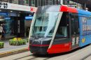


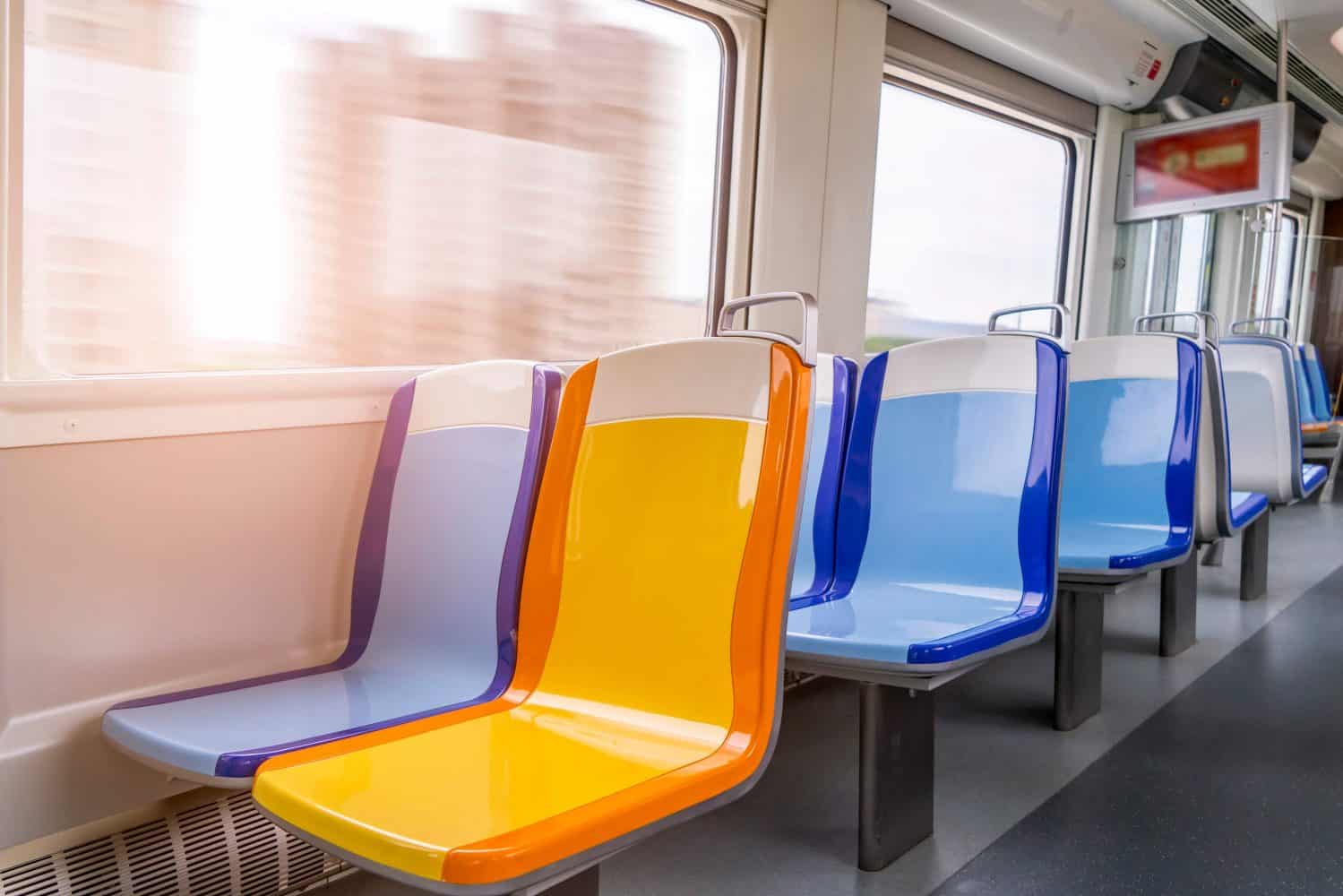
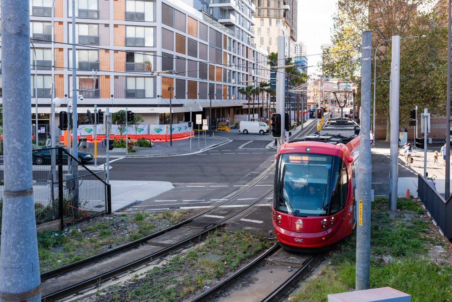
The Sydney Light Rail is a light rail system serving the city of Sydney in New South Wales. The network comprises Dulwich Hill Lane, a single line that spans approximately 13 kilometres and has 23 stations. Plans are underway to build additional lines to serve the western part of the city.
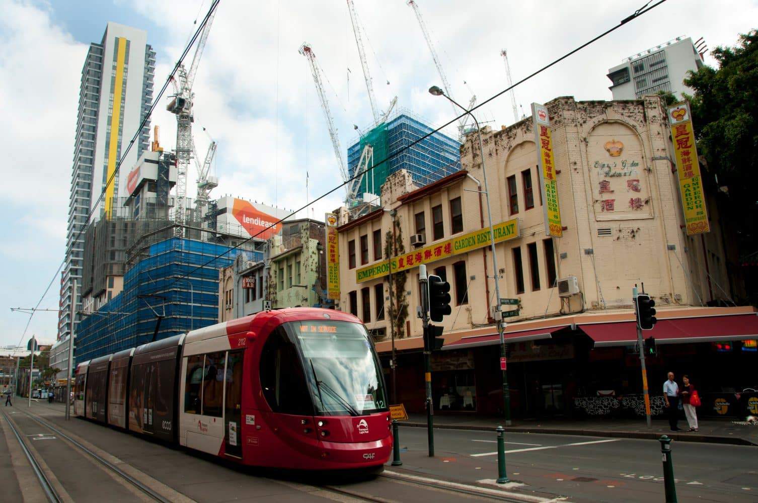
The light rail system’s history can be traced back to the early 20th century, at a time when the city developed a tram network.
Sydney Light Rail, Route Map, Timetable, Stops, Fares & Network, NSW
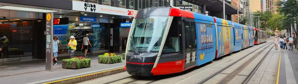
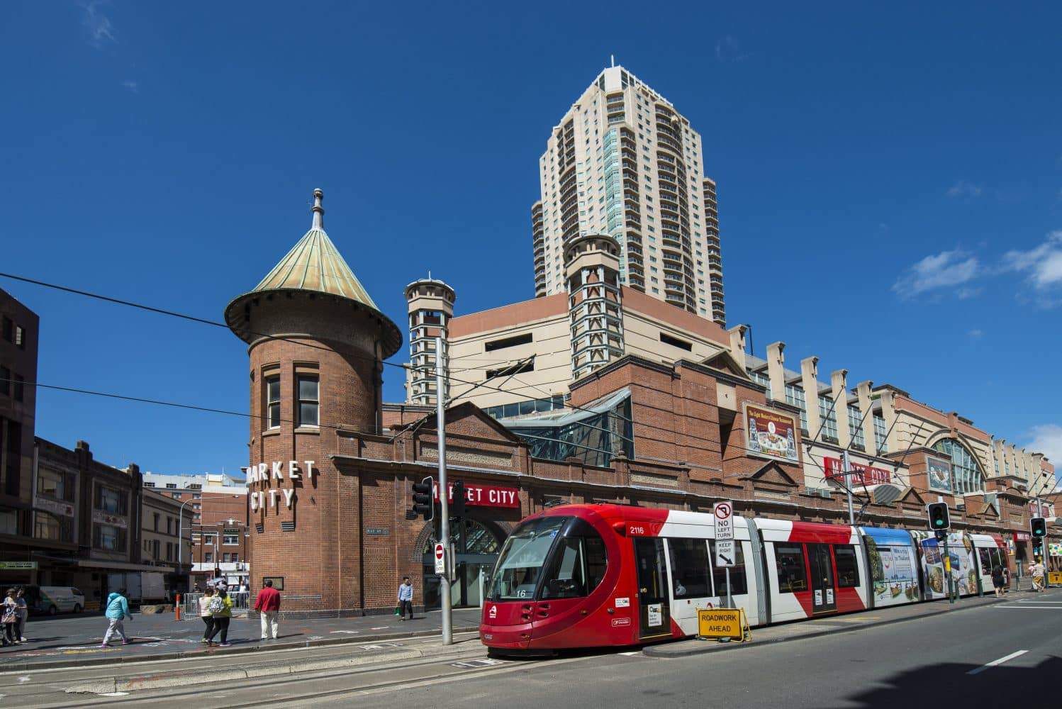
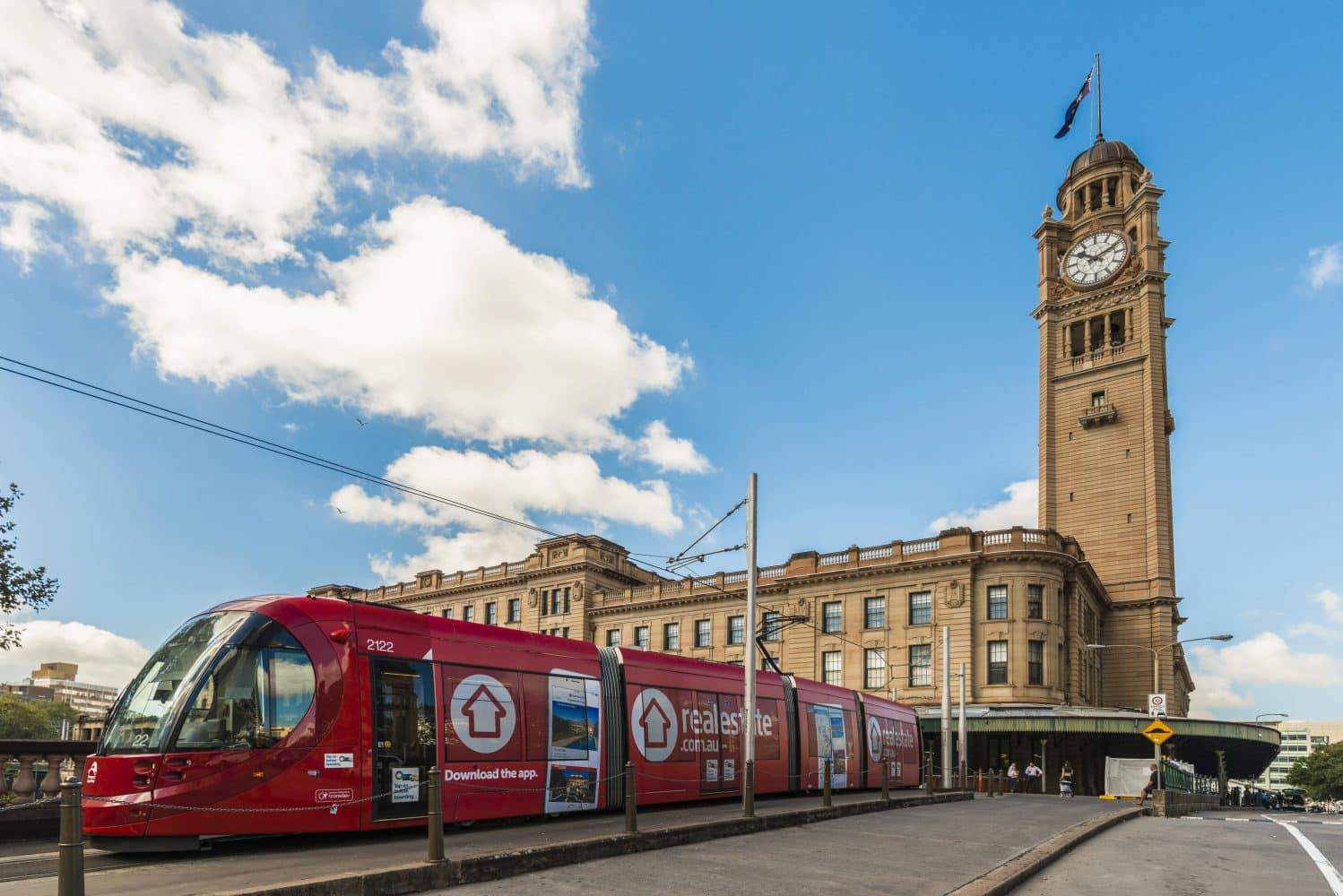
In recent years, the line has undergone development, which has allowed the system to be integrated with other forms of transport within the city. Today, the light rail lines of Sydney serve different parts of the city. The original L1 Dulwich Hill Line links the inner Western suburbs to Pyrmont, Darling Harbour, and the CBD. The other lines under construction include the CBD and the South East line, which will, in the future, operate between Central Station in the southern end and Circular Quay.
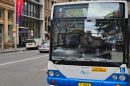
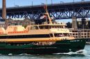
The Sydney Light Rail uses the Opal Ticketing system, a smart card-based system that makes it easy to get around Sydney. Perhaps the most exciting aspect of this rail system is that it is also valid on ferry, train, and bus services for seamless connections. Note, however, that different fares apply across these modes of transport. Also, fares cannot be combined, so check with the various service providers.
Public documents and reports are available at the library for history buffs interested in learning more about the Sydney Light Rail. From planning documents to newsletters, these offer an in-depth look into the evolution of the light rail system and how it has become a fundamental part of Sydney’s transport infrastructure.


Where can I get a printed timetable of light rail from central to high street Randwick
Ie Prince of Wales Hospital or a site I can PRINT one from DEFINITELY . Not given the run around as in click on here and led to nowhere.
Hi Dennis,
I looked at the TransportNSW website and i believe I found exactly what you are looking there.
There is a downloadable PDF file that you can print off at https://transportnsw.info/documents/timetables/93-L2-Randwick-Line-20210122.pdf.
Thanks
Michael